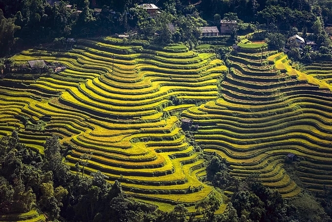
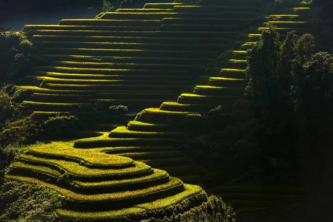
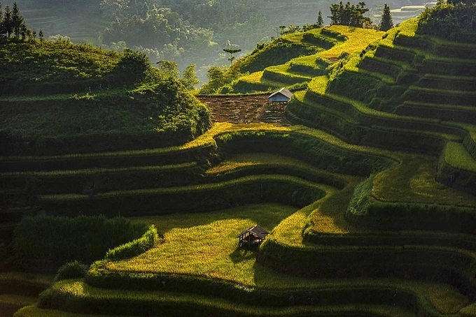
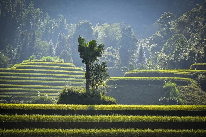
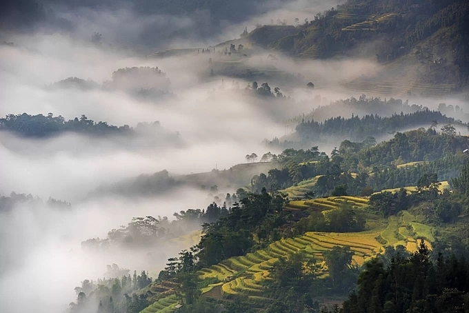
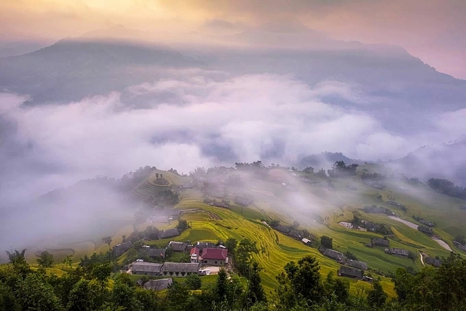
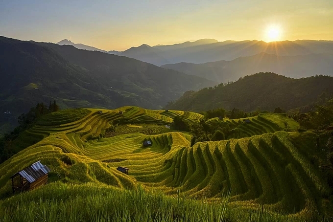
Freelance photographer Pham Hoang Cuong journeyed across the highest rice terraces in Ha Giang Province, and captured how they blend with the clouds.
The Hoang Su Phi terraced fields were recognized as a national monument in 2012. They cover 11 communes in the northern province: San Sa Ho, Ho Thau, Nam Ty, Thong Nguyen, Ta Su Choong, Ban Nhung, Po Lo, Thang Tin, Nam Khoa, Ban Luoc, and Ban Phung. They soar to their highest points in last two mentioned.
The fields are estimated to have been cut into the mountainside around 300 years ago by the La Chi, Dao and Nung ethnic groups.
During the harvest season the Hoang Su Phi terraces shine like gold, attracting many tourists and photographers, helping the poverty-stricken Ha Giang develop its tourism.
A view of the fields in Nam Khoa Commune.
There are two routes to Hoang Su Phi from Hanoi, one through Tuyen Quang Province and the other through Lao Cai Province, both around 300 kilometers long.
Photographer Pham Hoang Cuong suggested that for the best shots of the ripe rice fields, one should go through Thong Nguyen, Nam Khoa and Ta Su Choong communes to Ban Phung Commune.
Ta Su Choong is some 21 km southwest of Hoang Su Phi District, and has a large Hmong population. Its tourism is benefiting from its location in the national monument complex of terraced fields, primeval forests, ancient Shan tuyet green tea forests and spectacular waterfalls.
The terraced fields in Ban Phung Commune, home to ethnic minority group La Chi, are famous for nestling amid clouds. From Vinh Quang town, visitors need to take a 30-kilometer mountain pass to reach the center of Ban Phung Commune.
The rice crop in Ban Phung Commune ripens later than elsewhere, and the harvest lasts from early to mid-October. The rest of the Hoang Su Phi terraced fields are harvested from late September to early October.
The rice terraces in Hoang Su Phi are among the top tourist attractions in Vietnam's northwestern region, together with those in Lao Cai Province's Y Ty and Yen Bai's Mu Cang Chai districts.
